Case studies
The functionality of the advanced multi-scale ocean colour products developed within MULTI-SYNC are demonstrated in three distinct case studies: 1) Eutrophication assessment for European Directives, 2) Sediment transport monitoring near the harbour of Zeebrugge to optimize dredging operations and 3) Water quality monitoring in the Belgian offshore wind farms in support of aquaculture.
Eutrophication assessment for European Directives: The Water Framework Directive (WFD) and the Marine Strategy Framework Directive (MSFD) are currently the most important drivers for monitoring the coastal and offshore waters in Europe with the objective of reaching a ‘good environmental status’. Human-induced eutrophication is one of the criteria for assessing the extent to which good environmental status is being achieved. Satellite data of chlorophyll combine cheaper data collection with a much improved geographical and temporal coverage and prove to very suitable for eutrophication monitoring. Belgium is one of the leading European countries to officially use satellite data in their monitoring plan. With satellite data gaining traction in official monitoring programs and with today’s availability of multi-scale data it is key to provide a total uncertainty budget of satellite products taking into account inaccuracies from atmospheric correction, inversion algorithms and spectral/spatial/temporal characteristics of the data in order for the policy makers to accept EO observations in their reporting activities. Currently, such an uncertainty budget is not available.
 Figure:
Sentinel-2 image for 1st of May 2016 processed with ACOLITE and GONS 2005 red-edge algorithm to derive CHL concentrations an map near shore blooms.
Figure:
Sentinel-2 image for 1st of May 2016 processed with ACOLITE and GONS 2005 red-edge algorithm to derive CHL concentrations an map near shore blooms.
Sediment transport monitoring near the harbor of Zeebrugge: As stated in the OSPAR treaty (1992), Belgium is obliged to monitor and evaluate the effects of all human activities on the marine ecosystem. Dredging activities in and near Belgian harbors fall under this treaty and are performed daily to ensure accessibility of the port by ships. Currently, dredging companies are obliged to dump the dredged materials on predefined locations. RBINS/SUMO is developing a numerical sediment transport model to optimize and reduce these dredging activities near the harbor of Zeebrugge by providing the dredging companies daily data on optimal dumping locations which avoid redepositing of the sediments in unfavorable locations. The validation of such models is done using in situ observations and satellite data. To optimize the validation process there is a need for satellite data with a spatial resolution of 250m or better and a temporal resolution of 30 min. This combination of characteristics can only be delivered by a multi-scale synergy product taking advantage of the S3plus, S2plus and GEO data products.
 Figure:
Modeled sediment plume near the harbor of Zeebrugge
Figure:
Modeled sediment plume near the harbor of Zeebrugge
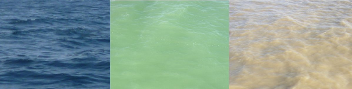
Water quality monitoring in the Belgian offshore wind farms in support of aquaculture: In the last decade, the number of offshore wind farms has increased rapidly. Offshore wind farms are typically constructed in near-shore, shallow waters. These waters can be highly productive and provide nursery grounds for fish. Next to the generation of energy, these hard constructions in the North Sea also offer opportunities for aquaculture. Ongoing research (EDULIS project) is focusing on the potential of farming mussels using long lines between the wind turbines and requires information on the water quality in these wind farms. Unfortunately, recent studies have shown that the wind mills themselves impact the water reflectance signal and thus impedes the use of medium resolution satellite data in these locations. It is key for these locations to investigate the extend of spectral pollution of the bright white turbines on the ocean colour signal at pixel level to provide useful ocean colour observations. This issue will become even more relevant in the future with an ever-increasing total area of the coastal zones in the North Sea being used for wind energy production.
 Figure:
EDULIS project: investigation of the possibilities to farm mussels in offshore wind farms using longlines (56m)
Figure:
EDULIS project: investigation of the possibilities to farm mussels in offshore wind farms using longlines (56m)