Project presentation
Polar-orbiting multispectral ocean colour sensors such as MODIS-AQUA and ENVISAT-MERIS have become well-established sources of chlorophyll a and Total Suspended Matter (TSM) data for the global oceans and coastal zones. While significant progress can still be expected for polar-orbiting multi- or hyper-spectral ocean colour sensors, two major obstacles can be identified, where optical remote sensing from a geostationary orbit provides strong advantages:
- Cloudiness and/or sunglint in many regions reduces the data availability from typically once per day (e.g. mid-latitude MODIS-AQUA) to significantly less. With multiple observations during the day, a geostationary sensor can reduce these data gaps.
- Processes in coastal regions and in the deep ocean have significant variability at time scales shorter than the daily sampling of wide swath polar-orbiting sensors. Data from polar orbiting sensors thus will be contaminated by unresolved or aliased variability. During cloud-free days, a geostationary sensor is able to resolve high frequency marine processes.
GEOCOLOUR builds on experience in geostationary remote sensing and on geostatistical analysis of remote sensing data built up in the BELCOLOUR-2 and RECOLOUR projects respectively. The key scientific questions are:
- What extra information can be obtained for the marine
environment when the temporal resolution of ocean colour
imagery is increased from daily (MODIS, MERIS, etc.) to data
every 5 minutes (e.g. SEVIRI Rapid Scan)?
- What new algorithmic approaches are needed to fully exploit
this potential?
- How should future geostationary ocean colour sensors be designed to maximise utility?
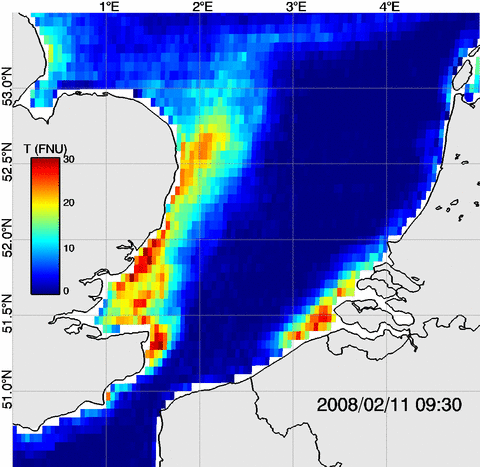
In BELCOLOUR-2, (Neukermans et al. 2009) demonstrated the feasibility of processing data from the geostationary SEVIRI sensor to give high frequency (every 15 minutes) mapping of Total Suspended Matter in the Southern North Sea. The study was also considered as a precursor for future geostationary missions with dedicated ocean colour sensors, enabling early confrontation of new problems associated with this orbit, including high viewing angles and hence critical atmospheric correction problems.

In RECOLOUR, (Sirjacobs et al. 2011) used the Data Interpolating Empirical Orthogonal Functions (DINEOF) approach to analyse a 4-year archive of Total Suspended Matter, Chlorophyll a and Sea Surface Temperature data from MODIS and MERIS. DINEOF was used to a) fill in gaps in the data archive where the satellite data was missing due to problems of cloudiness or insufficient data quality, b) produce multitemporal composite maps better suited for use by marine ecosystem models, c) provide automatic flagging of outlier data to be considered either as suspect or as corresponding to extreme natural events.
