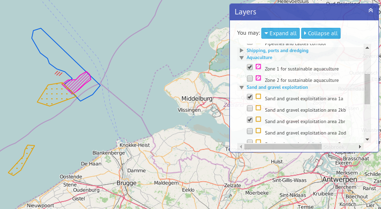
Marine spatial plan
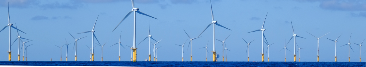
The Belgian part of the North Sea is one of the ‘busiest’ seas in the world. In the North Sea there are a lot of activities, such as shipping, fisheries, sand extraction, energy production (wind turbines). To allow all of these activities side-by-side, with the least possible effect on the North Sea, the minister for the North Sea took the initiative to set up a marine spatial plan. In March 2014, a Royal Decree (FR, NL) establishing a marine spatial plan to describe the spatial use of the Belgian part of the North Sea for the period 2014-2020, was published. The plan will be evaluated after six years.
The geographic layers are available through our Belgian Portal to marine data and information, marineatlas.be.